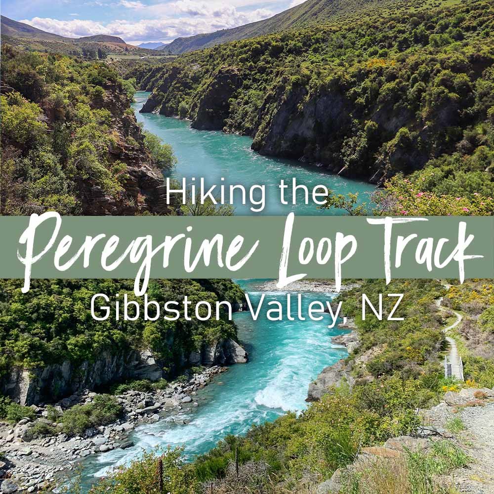
Peregrine Loop Track | Short Walk in Gibbston Valley
See the bright blues of the Kawarau River up close from the Peregrine Loop Track. This short trail is great for wine lovers, families and cyclists too. You’re gonna want to add this stop to your next road trip through Gibbston Valley.
Track Details & Map
| Difficulty | Easy |
| Distance | 2.5 kilometers |
| Trail Type | Loop |
| Elevation Gain | 75 meters |
| Time | 40 miutes |
| Family Friendliness | ★★★★★ |
| Pram Access | Yes |
| Dog Access | On leash only |
| Coordinates | -45.020526, 168.950246 |
About the Trail
This walk circles around a famous Gibbston Valley Winery, Peregrine Wines. The trailhead and car park are just to the left of the winery in a large gravel parking lot. While this is a loop track, I recommend walking in a clock wise direction because the other end of the path is not as easy to find from the parking area. The Peregrine Loop is also a smaller section of the much larger Gibbston River Trail, which welcomes both walkers and cyclists.
At first you might think you’ve gone the wrong way because of the “restricted entry” sign near the back of the winery, but I assure you this is part of the trail. Just stick to the gravel road on your left and avoid the industrial building, you’re only near it for a quick minute. Follow the gravel path lined with power poles for about 5 minutes.
This sign and pathway will be on your right side.
Keep a look out to your right for a dark green DOC sign that says “Access to Gibbston River Trail.” Take a right turn here and follow the path into the bushes. On a sunny day, this trail gets seriously HOT! There’s no shade until you near the end of the loop. Definitely don’t forget sunscreen, sunglasses and a hat for this one.
This is where the Gibbston River Trail intersects the Western end of the Peregrine Loop Track. Stay to the right here.
Less than five minutes after passing the previous DOC sign, you’ll come to this intersection. This is where the Peregrine Loop Walk and the Gibbston River Trail connect. If you go left, you can follow the gorge to the Kawarau Suspension Bridge. Go right to carry on with the loop. The great views begin just after passing this point.
Your first view of the Kawarau River! Don’t get too close to the edge, it’s a big drop.
Your first view of the Kawarau River comes into sight. You’re on the edge of a mini cliff here with no railings to hold anyone back from falling, so keep young children close by from this point forward. Don’t worry about getting too close to the edge, as there will be plenty more opportunities to get good photos coming up.
Even on a cloudy day, the water of the Kawarau Gorge takes on a super vibrant teal-ish blue color. No photo editing needed to see those colors pop! Once you hit the first bridge, you can turn back and return the way you came if you want to make this a short 20 minute out-and-back trail. I chose to complete the loop to see all the different angles of the river winding through the gorge.
After the first bridge, the flat gravel path starts to descend towards the water. The edges of the walkway are quite steep here and drop right off so definitely steer clear of the edge. A few minutes of downhill switchbacks later and you’ll be back to flat level ground again.
A bench with a view! This spot would be perfect if only it had a little shade.
One surprising thing I didn’t expect on this trail was the abundance of flowers! In spring and early summer, the entire walkway is lined with colorful and fragrant flowers all buzzing with bees. They make for a stunning frame around photos of the river and really enhance the overall beauty of the view.
Once the trail begins climbing back uphill, you start to loop back towards the winery and away from the water. There’s a few bridge crossings over a loud and deep chasm (called Camp Creek) which is neat to look down on. You’ll also come across a few picnic tables as you walk up and down a few mini hills. There’s a little bit of shade here, so this could be a nice spot to take a break and escape the harsh sun. This area is quite dry and dead looking though, so there’s nothing too exciting to see here.
From here you’re about 10 minutes from the Peregrine car park. Continue following the DOC signs leading you back on to the Gibbston River Trail and stay to the right. The very last stretch of the loop parallels the highway, and you end up returning to the trailhead via the road you drove in on.
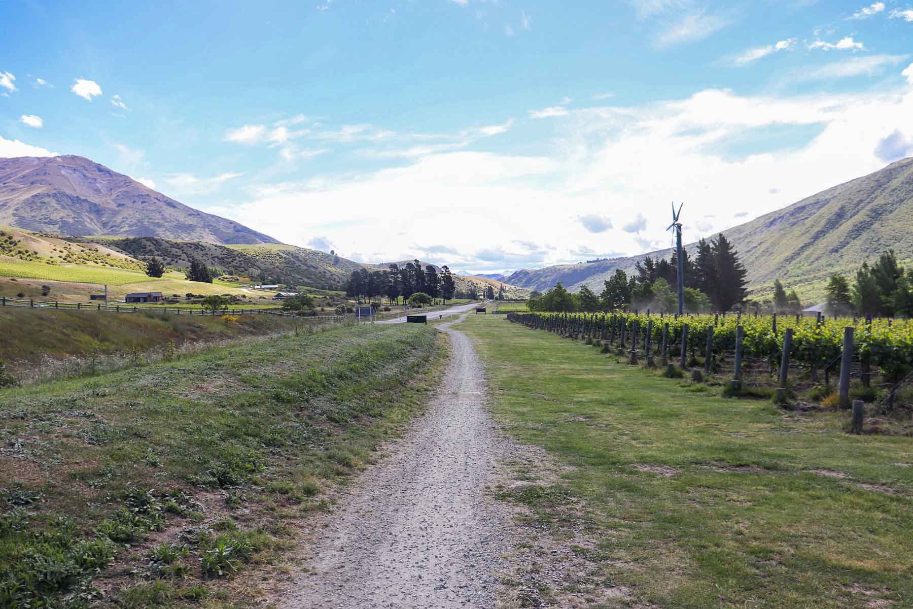
On the Gibbston River Trail you’ll see scenic mountain views and vineyards on both sides.
Know Before You Go:
Sections of this track are steep and icy in winter, footwear with good grip is recommended.
The trail is very exposed with little to no shade.
There is cell service on the entire walk and at the trailhead.
Leashed dogs are allowed on this trail.
Grade 4–5 advanced mountain biking track with exposed sections and tight switchbacks.
Always check with the Department of Conservation for the most up to date trail information.
How to Get to Gibbston Valley
From Queenstown (30min)
Head East on State Hwy 6 towards Cromwell / Wanaka for 27 km’s and make a left turn at Peregrine Wines. The Peregrine Loop Track begins from the gravel carpark on your left.
From Cromwell (30min)
Follow State Highway 6 towards Queenstown for 30 kilometers before turning right at Peregrine Wines. The Peregrine Loop Walk and gravel car park is to the left.
Other Things To Do in Gibbston Valley
Peregrine Winery’s vineyard in Gibbston Valley. As seen from the Peregrine Loop Walk.
Gibbston Valley is a popular area for wine tasting, cycling, scenic walks and a variety of adrenaline pumping adventures near the Kawarau River. Not only is it nestled in the heart of Central Otago wine country, it’s also just a half hour drive from both Queenstown and Cromwell. Arrowtown is just a few minutes drive away too.
Wine Tasting: Take a guided wine tour or choose from up to 7 wineries to visit. Peregrine Winery conveniently shares a parking area with this walk.
Kawarau Bridge Bungy: Jump if you dare… or watch others do it for free! Minimum 10 years old to jump.
Kawarau Bridge Zipride: Zip across the Kawarau River at speeds up to 60 kph. Minimum 8 years old to ride.
Freedom Camping: Pitch a tent near Rum Currie’s Hut or park up your self contained vehicle at the Kawarau Bridge Car Park!
Gibbston River Trail:
13km | 380m | 3hr 40minMount Rosa Track:
17.2km | 1,350m | 5hr 30minLake Hayes Loop Walk:
7.9km | 145m | 2hr
Disclaimer: Please adventure at your own risk. The author of this article is not liable for any injuries or damage that may occur. It is up to the individual to determine their own capabilities and limits, and to thoroughly research before venturing into the great outdoors. Read our full Disclaimer.


